About

About

Why?
MWM

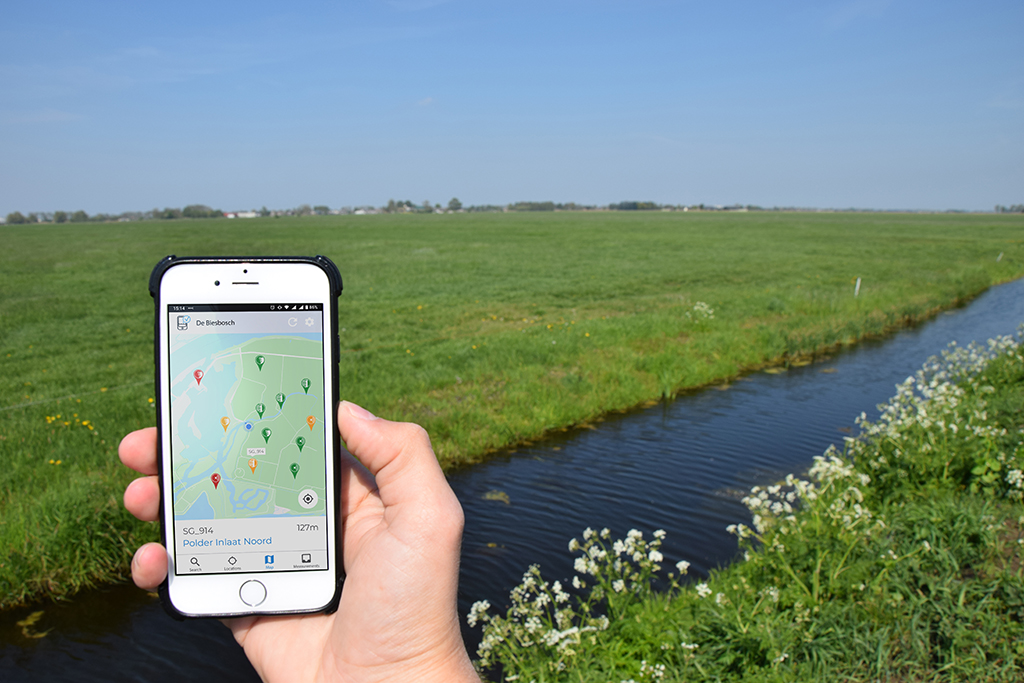
The emergence of smartphones has not only made our everyday lives easier, but its technical applications also opened new paths in water resources management.


Acquiring high quality data from traditional field equipment has always been a challenge, something that MWM aims to solve by providing organizations GIS-based assistance during data collection cycles and by using AI components which guarantee data validity.


MWM’s method ensures more participation of field workers and offers better management of human resources and your existing robust infrastructure.

Know WHAT, WHERE and WHEN to measure
Always process high QUALITY field DATA
UNLIMITED amount of USERS and MEASUREMENTS
Registration of water variables has never been easier. Measure water levels in rivers or canals, ground water levels, rainfall, discharge, household water use or irrigation parameters by simply taking a picture or playing a sound with your smartphone! Proprietary pattern recognition software reads the water variable after which it gets automatically uploaded to the database.   All measurements and pictures are geo-tagged and easily accessible through our GIS-based user interface. Data exchange functionalities are available to  connect our technology directly to the most common Water Information Systems, such as WISKI and FEWS.
Our
METHOD
MWM’s services

We support your field data collection processes with cloud-based user friendly mobile applications and portals, and integrate our modules with water information systems or billing software of your choice. MWM’s experts and implementation partners offer you on demand customized configuration services and training on site.
Interested in our products and services? Let’s get in touch!